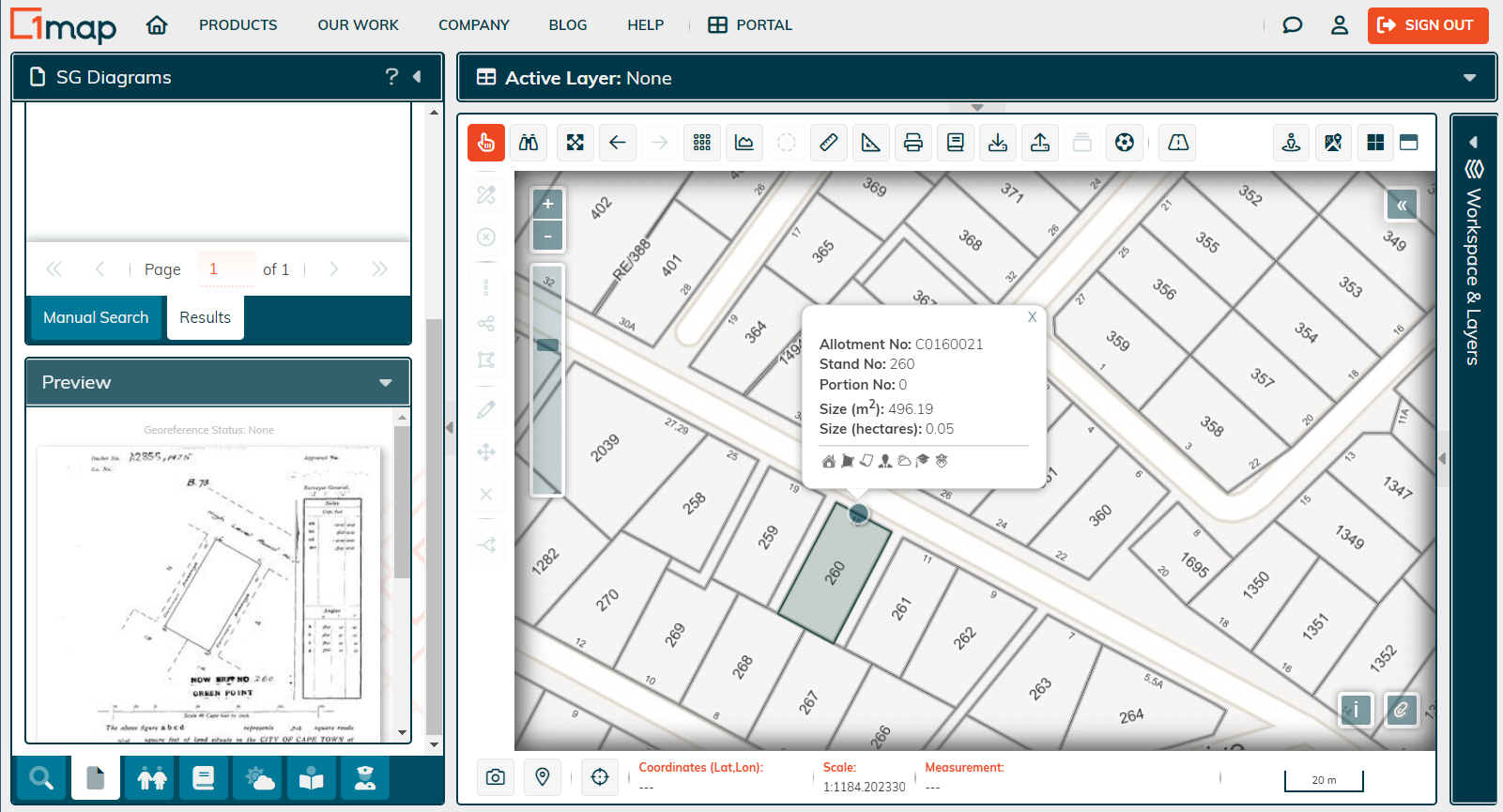
What is the LPI Code / SG21 Key?
The LPI code, also known as the “SG 21 key”, is the unique reference number given by the Surveyor-General office to each land parcel.
Region Code: Digits 1-8
The first 8 digits represent the allotment of land by the Surveyor-General into Registered Districts areas which are then further subdivided when a township is proclaimed. In the Western Cape, these 8 digits are called the Allotment code.
The first digit signifies the SG Office Code (C/T/F/N), still relating to when there were only four provinces (Cape Province, Transvaal, Free State, and Natal).
The second digit is a placeholder and is always zero.
The third and fourth digits refer to the Farming Registration Division code.
Where the last 4 digits are 0000, the land is still a Registered District or Farm. and is described as the Major Region Code.
Where they are 0001 and above, it represents an SG township, where land has been subdivided into stands, roads etc. This is an incremental number that is assigned per office. We then refer to the 8-digit code as the Minor Region Code (MRC).
When dealing with farms, the Minor Region Code will always be four zeros ('0000').
Stand Number: Digits 9-16
The stand number is an eight-digit incremental number that is unique for each township number. A new township will start agin at stand number 1.
Portion Number: Digits 17-21
The portion number is a five-digit incremental number that is used when farms or stands have been subdivided.
Did you know...?
The SG21 key for every property in South Africa is available to 1map PropertyMap subscribers! Search for a property by street address or stand number, and see the allotment number, stand number, portion number, and even unit numbers for sectional schemes. Learn more.

![logo-whte-1.png]](https://help.1map.co.za/hs-fs/hubfs/logo-whte-1.png?height=50&name=logo-whte-1.png)