What is Geocoding?
Putting your data on the map
1map can help you map your data visually by transforming the free-form text addresses that your operators or users have captured to clean and structured addresses with coordinates and a link to specific property.
Now you have spatial data!
JARGON DEMYSTIFIED
What is Geocoding?
geocode
(VERB)
Provide geographical coordinates corresponding to (a location)–Oxford Dictionarydefinition
When we geocode your data we evaluate every record for some kind of locatable address, and add the location attributes needed to display the data on a map.

NATIONAL ADDRESS DATABASE
Mapping to the Master
The 1map NAD is a comprehensive, accurate, and up to date database of street addresses, house numbers, and stand numbers for the entire South Africa.
With various address standards in use in different areas in South Africa, you need the most reliable address database to map your data to if you want a useable result.

A.P.I.
Integrated Geocode Functionality
With our powerful API, you can integrate the 1map address lookup directly into your applications with the minimum effort. This ensures that the addresses that your users capture are already in a structured and geocoded format, for a dynamic spatial dataset.

INTERACTIVE GEOCODING
Search it.
See it.
Map it.
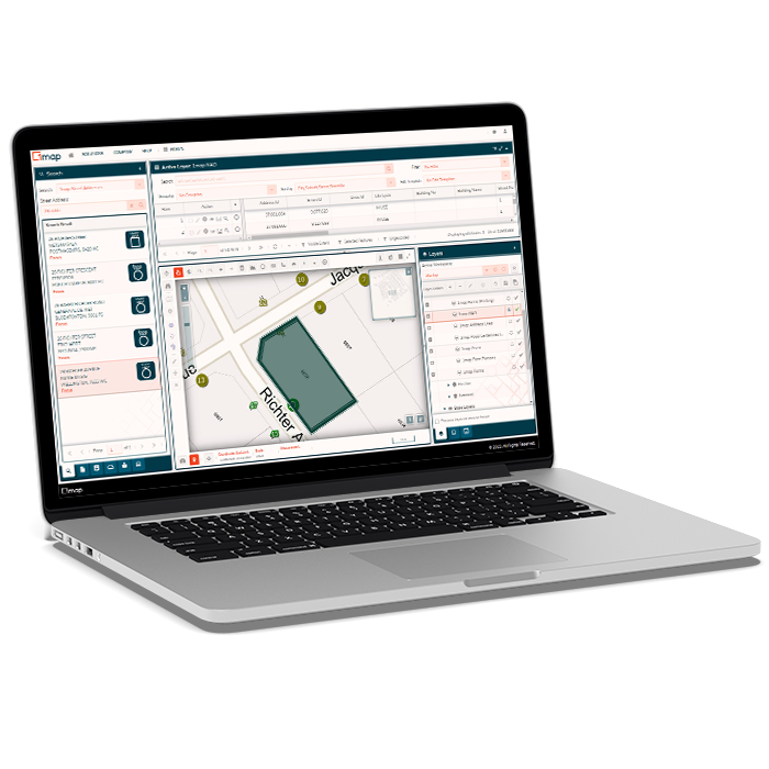
With 1map's interactive geocoding module, operators can work through a list of ungeocoded properties with the help of the map. The workflow is built for speed, accuracy, and traceability - ensuring reliable output.
The Process
All we need to geocode your data is a list of addresses with a reference attached. No private data, no other attributes. Only the raw address and a field that would allow you to link the cleaned and geocoded address back to your dataset.
Once we have your list of addresses, we need to put them through a process of standardisation to transform the raw address to a structured, machine-readable attribute set. This includes running the addresses through our market-leading and translation tables, to ensure maximum geocode rates.
The 1map NAD is a comprehensive database of addresses and coordinates for the entire South Africa, with attributes such as classification of the in-use address (i.e. the address that the resident uses), alternate addresses (e.g. corner properties with more than one street frontage), as well as the address type in use (street address / house number / stand number). Previous street names are also included to facilitate matching of historic data where street names have subsequently changed.
Once geocoded, you will get a notification to download the result, and a report of the number of records successfully geocoded to property level, as well as the level to which the other records could be geocoded (e.g. street, suburb, town, etc.). Ungeocoded records can then be researched and manually geocoded through the geocoding interface.
Our NAD and reference tables are continuously growing, and therefore the possible match rate can improve as time passes. If you wish, you can subscribe to updates for your geocoded dataset, and get a notification as soon as the match status or address of one of your geocoded records is updated.
![logo-whte-1.png]](https://help.1map.co.za/hs-fs/hubfs/logo-whte-1.png?height=50&name=logo-whte-1.png)